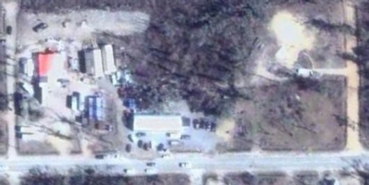
Google Earth recently updated their satellite imagery over part of Lakeshore. You can now see our camp site; the red roof of the kitchen, shipping container bunk houses, quonset huts, sheds, the big metal building, various campers, vehicles, the office, and other things if you can pick them out. If you grab the full free download of Google Earth you can fly around, zoom in, etc.
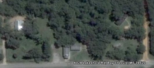
You can check out my previous Google Earth satellite posts and grab the post-Katrina overlay and a file I created that points to all the SBC churches in our Gulf Coast Baptist Association. For reference, here is the satellite image of our church property from before the storm:

