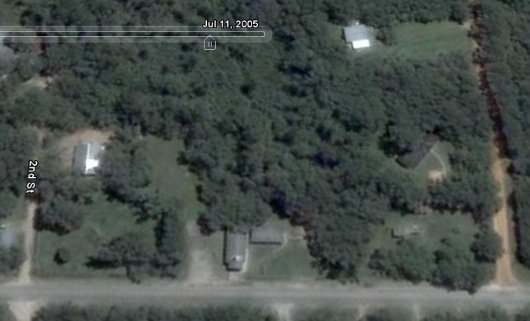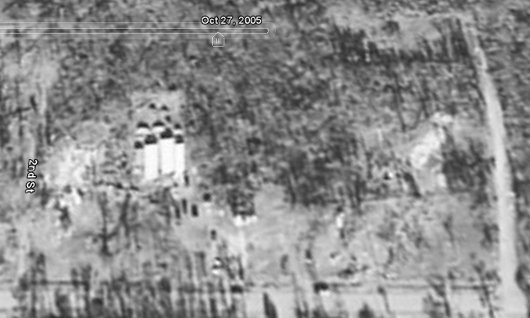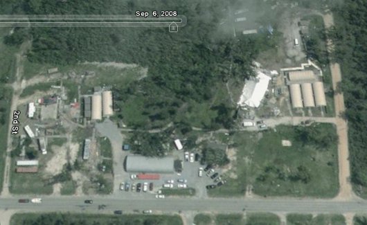


Google Earth recently release version 5 of their satellite imaging software. A new timeline feature allows you to go back in time and see historical imagery. The above three screenshots show the satellite pictures from July 11, 2005, October 27, 2005, and September 6, 2008. Katrina hit August 29, 2005. With the free download of Google Earth you can zoom in and out and fly around the globe. Looking at Lakeshore this morning reminds me once again how drastically the storm changed the landscape. At least its getting somewhat green again.
